Local Government
Public infrastructure projects can be delayed or put on hold due to stringent Michigan Department of Environmental Quality (MDEQ) wetland mitigation requirements. Privately owned wetland mitigation bank credits are not available in some areas of the state, and mitigation construction on a per project basis can be complicated, expensive, and time consuming.
MDEQ permit applicants generally have three options to compensate for lost wetlands: (1) on-site mitigation, (2) off-site mitigation, and (3) mitigation banking. On-site mitigation is the restoration or creation of wetlands by the permit holder within the project limits of the impacted wetlands. Similarly, off-site mitigation is the restoration or creation of wetlands by the permit holder at another site within the same watershed or ecoregion. Mitigation banking, on the other hand, involves the purchase of credits to offset the permitted impact to wetlands from an established wetland mitigation bank within the same watershed or ecoregion. This third option is the preferred method of mitigation under federal and state statutes.
With grant funds from the MDEQ and assistance from the Michigan Department of Natural Resources (MDNR), the MMWA is establishing wetland mitigation bank sites across the state to help expedite municipal infrastructure projects. The MMWA will serve as the bank sponsor and the MDNR will build and maintain the wetland mitigation banks, which means that municipalities can rest assured that their wetland mitigation requirements have been properly fulfilled.
Potato Creek Wetland Mitigation Bank
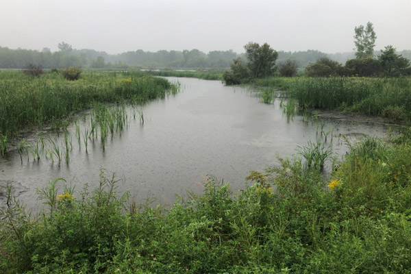
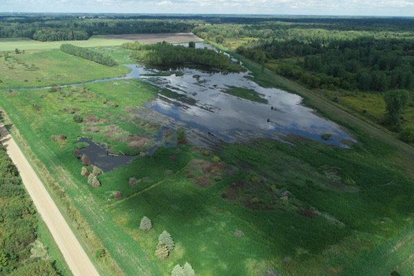
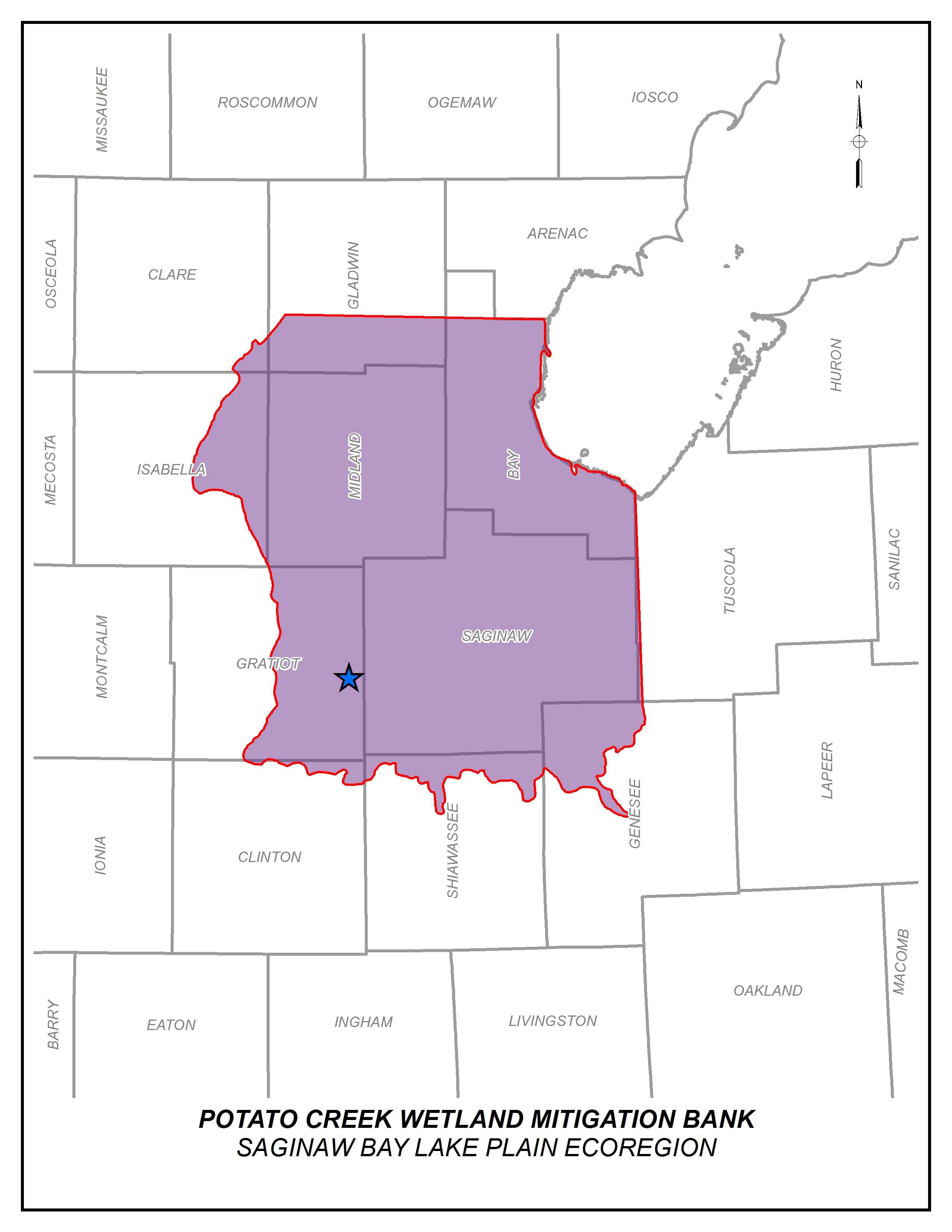
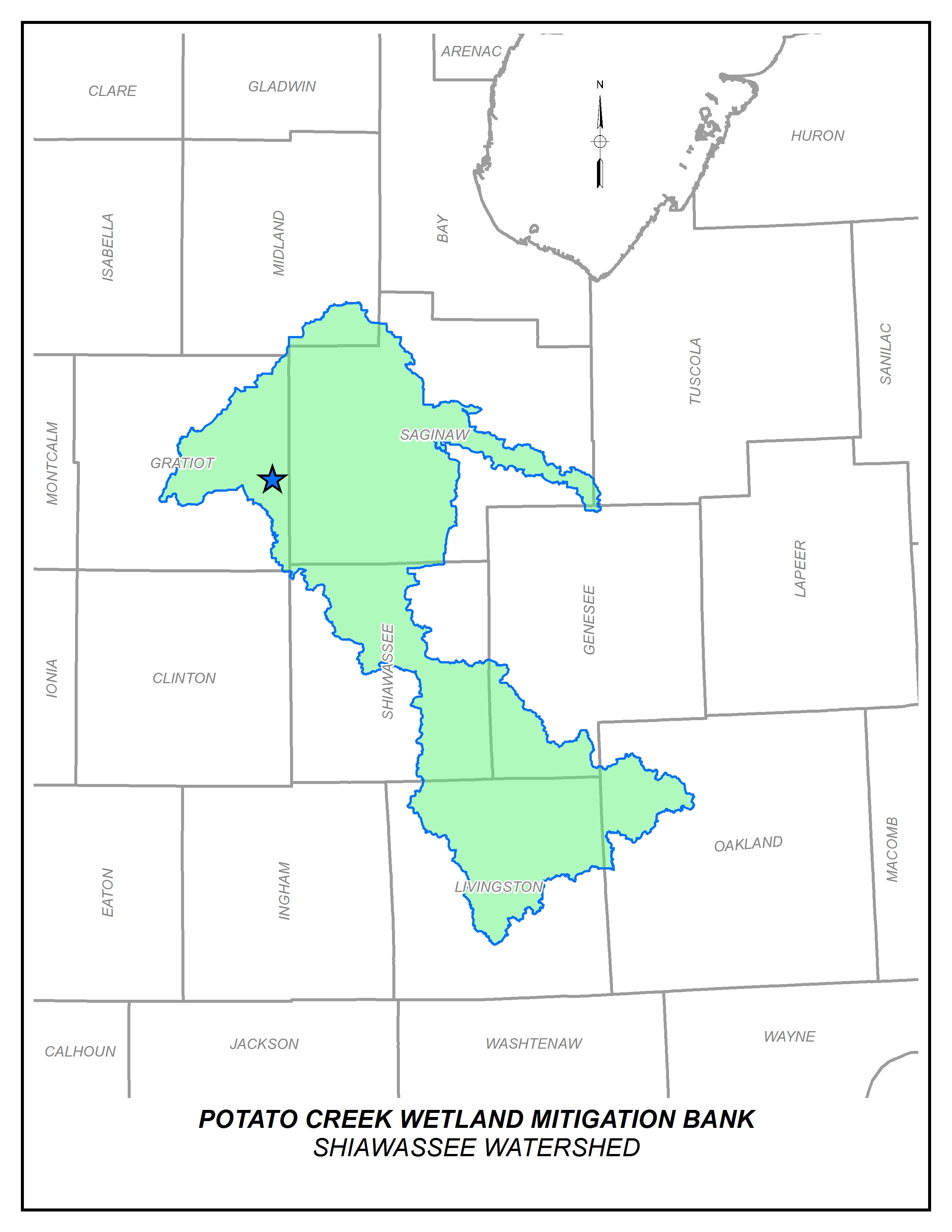
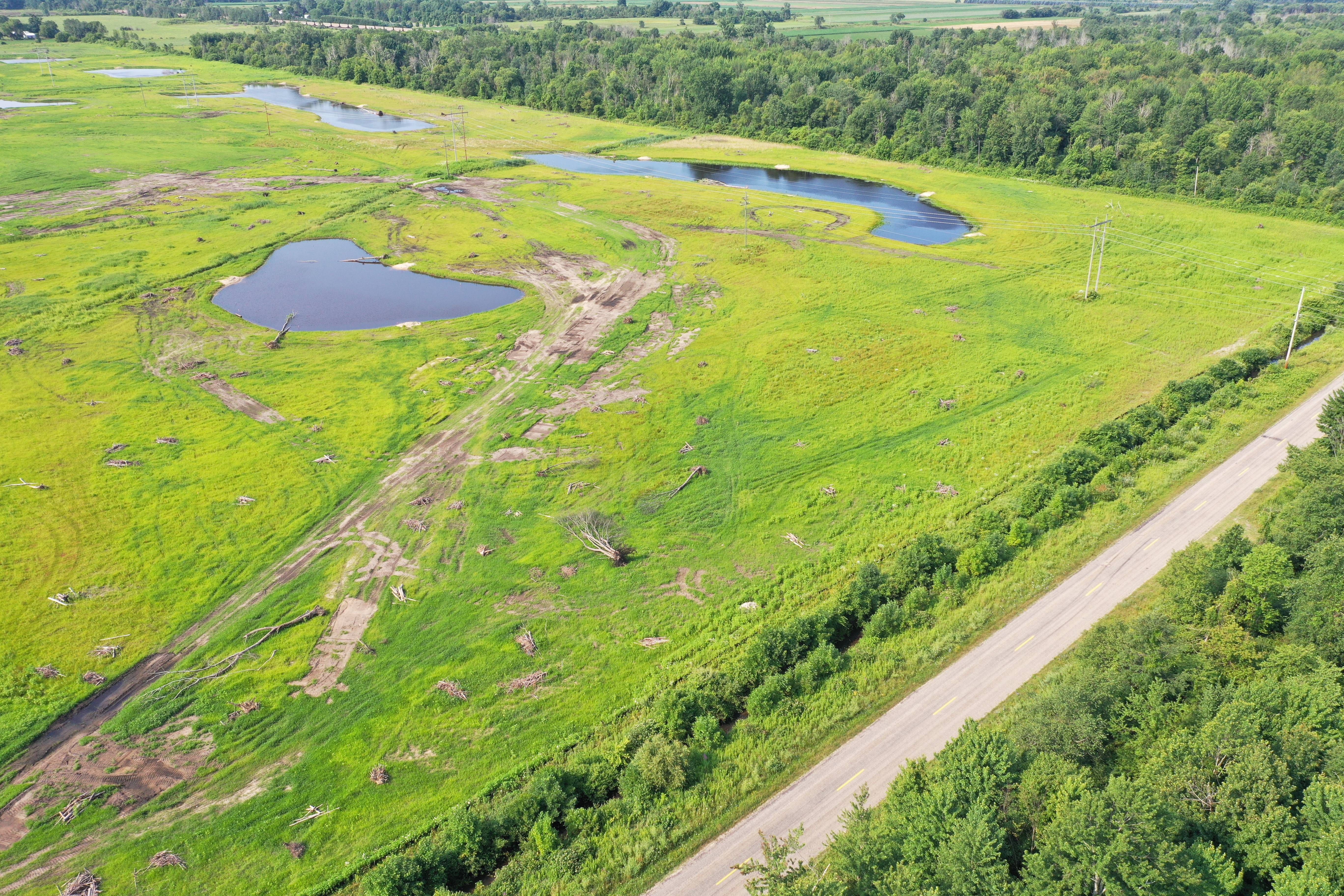
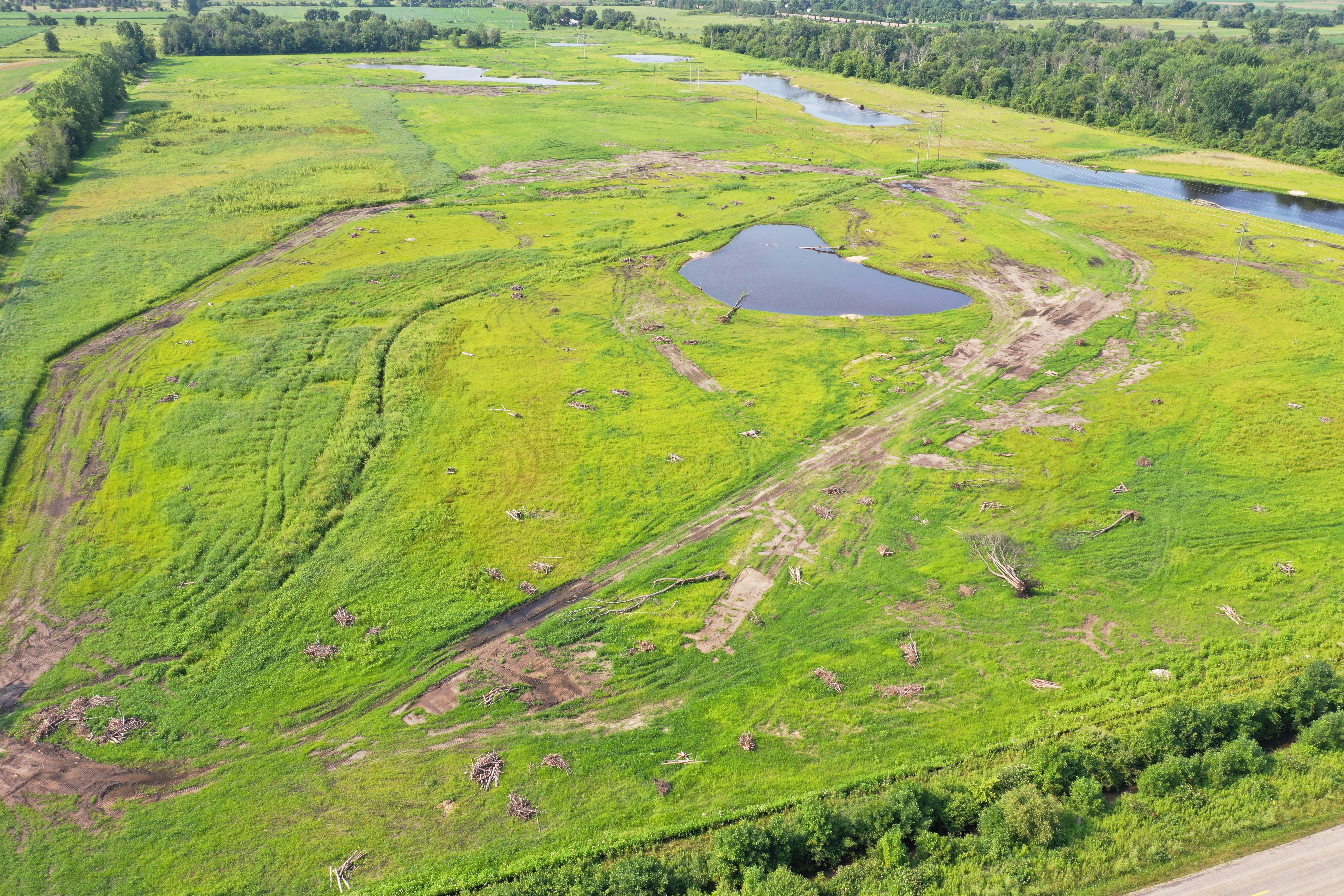
The Potato Creek Wetland Mitigation bank is located on approximately 80 acres within the Gratiot-Saginaw state game area, in Hamilton Township, Gratiot County, Michigan near the intersection of S. Woodbridge Road and E. Pierce Road. The wetland was constructed by the Michigan Municipal Wetland Alliance and is owned and managed by the State Department of Natural Resources. The design of the wetland focused on creating multiple types of highly functional wetlands that will be available for local units of government to utilize in late 2020. In addition to wetland creation, the MMWA is enhancing the site to create wildlife habitat for migratory and non-migratory birds, waterfowl, mammals, reptiles, amphibians, and invertebrates through careful plant selection and the incorporation of habitat structures. The structures will include; brush piles, sand piles, snags, fallen trees, and root wads. There will be approximately 3 habitat structures per acre of created wetlands. The bank site is available to the public to use for hunting and birding or to simply enjoy the restored natural features.
The entire wetland footprint will be approximately 59.5 acres delineated as follows:
Wetland Type | Acres
Forested | 0 acres
Scrub Shrub | 22.6 acres
Emergent | 36.9 acres
Total | 59.50 acres
Grand River Wetland Mitigation Bank
The Grand River Wetland Mitigation Bank is located on approximately 35 acres within the Grand River state game area, in Ionia Township, Ionia County, Michigan on the North side of Riverside Dr. approximately 5 miles east of M-66. The wetland was constructed by the Michigan Municipal Wetland Alliance and is owned and managed by the State Department of Natural Resources. The design of the wetland focused on creating multiple types of highly functional wetlands that will be available for local units of government to utilize in late 2020. In addition to wetland creation, the MMWA is enhancing the site to create wildlife habitat for migratory and non-migratory birds, waterfowl, mammals, reptiles, amphibians, and invertebrates through careful plant selection and the incorporation of habitat structures. The structures will include; brush piles, sand piles, snags, fallen trees and root wads. There will be a minimum of 6 habitat structures per acre of created wetlands. The bank site is available to the public to use for hunting and birding or to simply enjoy the restored natural features.
The entire wetland footprint will be approximately 22.8 acres delineated as follows:
Wetland Type | Acres
Open Water | 3.4 acres
Emergent Wetland | 4.3 acres
Wet Meadow | 11.6 acres
Scrub/Shrub Wetland | 3.5 acres
Total | 22.8 acres
Allegan Wetland Mitigation Bank
The Allegan Wetland Mitigation bank is located on approximately 95 acres within the Allegan state game area, in Clyde Township, Allegan County, Michigan on the South side of 122nd Avenue approximately ¼ mile east of 57th Street. The wetland was constructed by the Michigan Municipal Wetland Alliance and is owned and managed by the State Department of Natural Resources. The design of the wetland focused on creating multiple types of highly functional wetlands that will be available for local units of government to utilize in late 2020. In addition to wetland creation, the MMWA is enhancing the site to create wildlife habitat for migratory and non-migratory birds, waterfowl, mammals, reptiles, amphibians, and invertebrates through careful plant selection and the incorporation of habitat structures. The structures will include; brush piles, sand piles, snags, fallen trees, and root wads. There will be a minimum of 6 habitat structures per acre of created wetlands. The bank site is available to the public to use for hunting and birding or to simply enjoy the restored natural features.
The entire wetland footprint will be approximately 52.6 acres delineated as follows:
Wetland Type | Acres
Open water | 7.8 acres
Emergent wetland | 1.4 acres
Wet meadow | 29.2 acres
Scrub/shrub wetland | 14.2 acres
Total | 52.6 acres
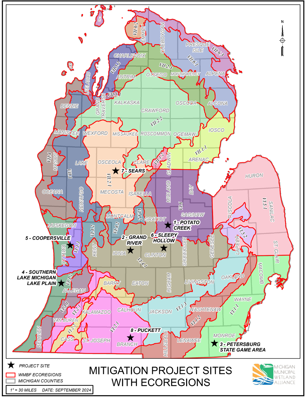
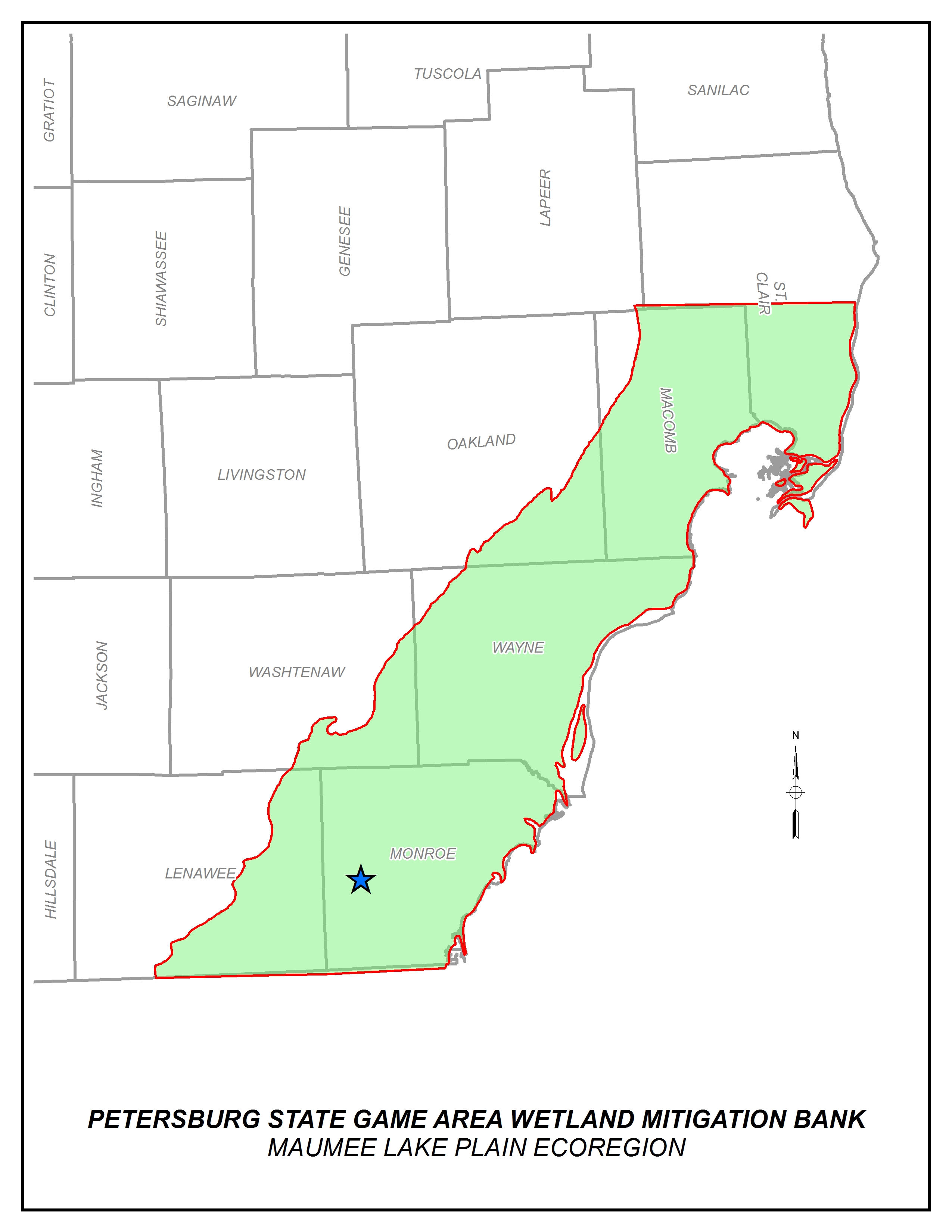
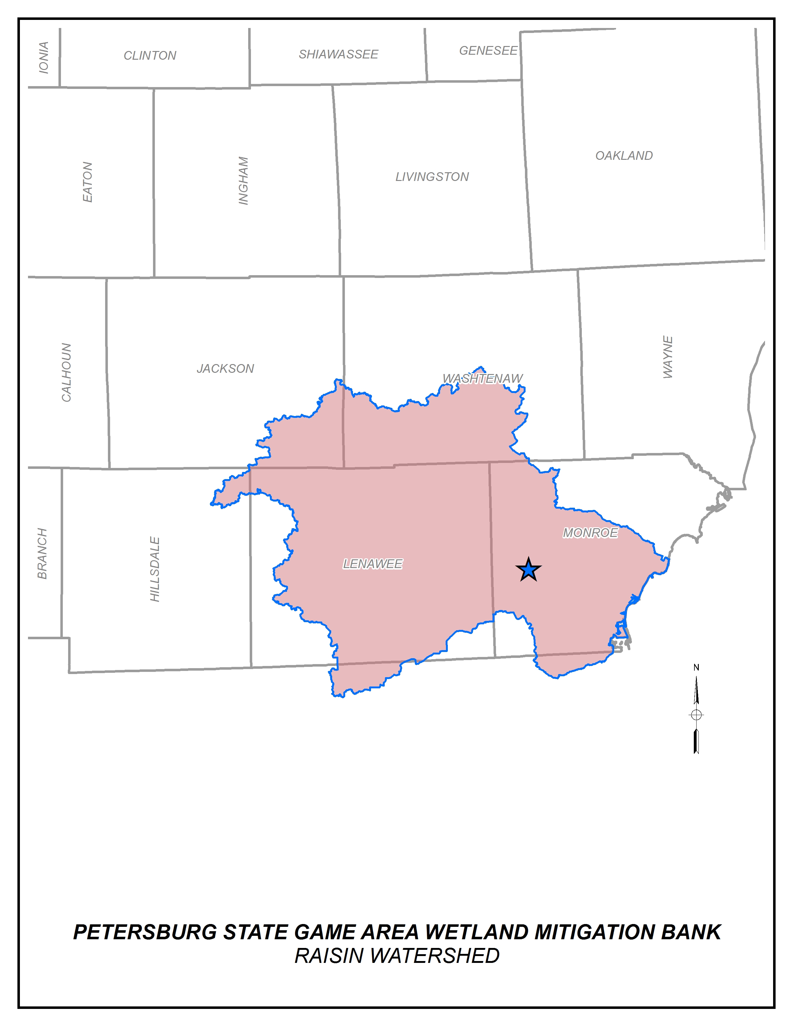
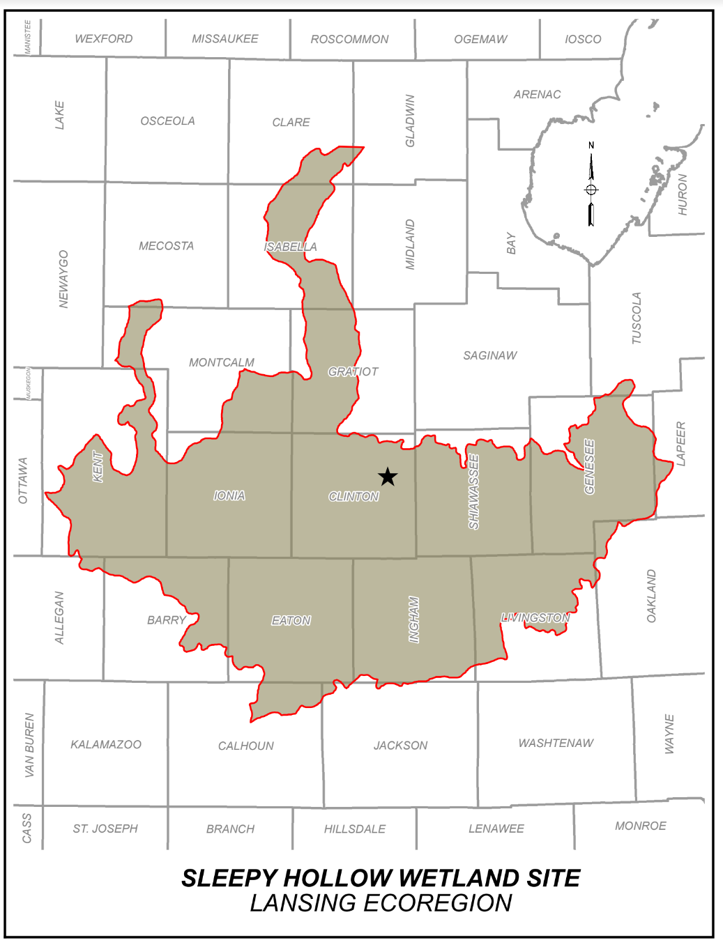
Credit Availability Maps
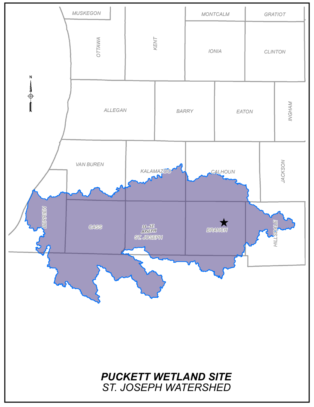
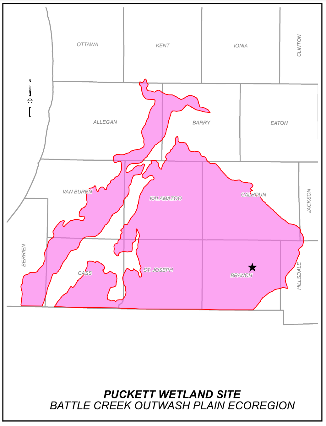
The MMWA will be establishing wetland mitigation bank sites to service local governments in the following watersheds and ecoregions:
Find out how the MMWA can help you
If you are a municipality planning a project with unavoidable wetland impacts, please contact the MMWA to determine if any MDEQ wetland mitigation bank credits are available in your watershed or ecoregion.

